One workflow from the first waypoint to the aircraft.
Browser delivered
Cloud to tactical edge
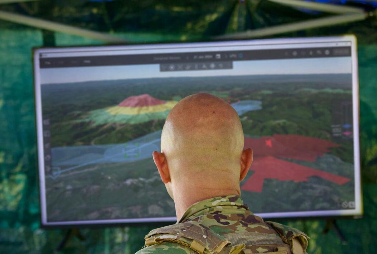
3D map and terrain
Airspace import
Threat intervisibility
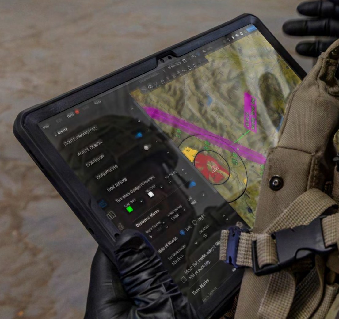
Fuel and performance by leg
Timeline rehearsal
Mission data transfer
Plan, rehearse, and load in one workflow.
Eris is a mission planning, rehearsal, and execution platform built with aviation planners and aircrews. It brings mission, aeronautical, terrain, and threat data into one workflow, checks fuel and performance on every leg as the route is built, flags problems such as insufficient fuel as they appear, and transfers the finished plan to the aircraft. Routes, graphics, and timing publish to the common operating picture as planners work, so the airspace picture fills in while the mission takes shape. Eris runs in the browser with no client install, on one baseline from enterprise cloud to tactical edge compute. Manned mission planning is in use today, and unmanned mission planning is in development.
One plan, visible to everyone who needs it.
01/
Route Planning
Build waypoint routes and corridors on a 3D map, drop in vertical obstructions, and import routes, threats, and airspace from CSV, CRD, shapefile, and USMTF files. Fuel and performance show on every leg as the route is built, and errors such as insufficient fuel appear on the map in real time. Terrain, threat intervisibility, and aeronautical overlays sit in the same view. Set fuel and cargo on-load and off-load at route events and assign an aircraft to each route.
02/
Connected Picture
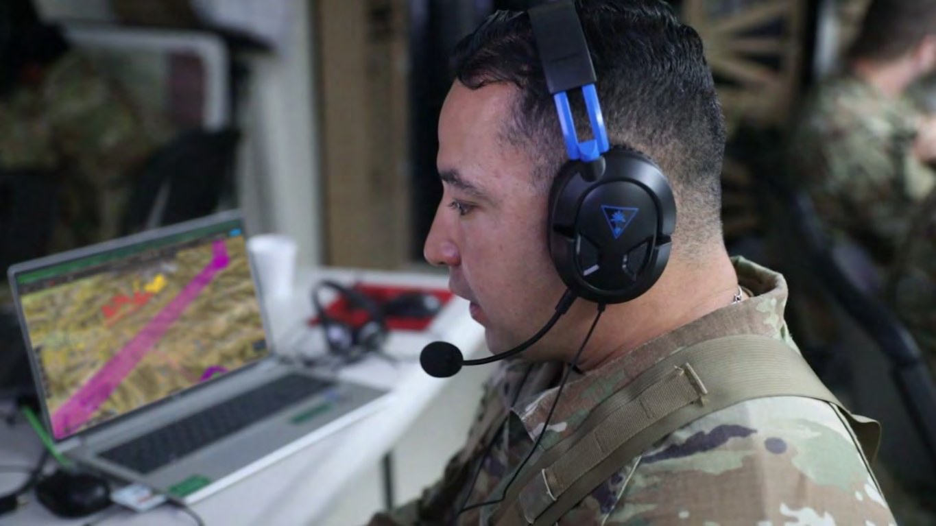
Routes, operational graphics, and mission timing publish to the common operating picture as they are built, and airspace control measures import onto the same map. Imagery and map layers from WMS and GeoPackage sources load alongside the plan. Conflicts between routes, airspace control measures, and fire support coordination measures surface during planning, while there is still time to fix them.
03/
Rehearse and Load
Rehearse the full mission on a timeline before launch, in real time or at your own pace, and compare the timing of multiple routes. Load the validated plan to the aircraft through mission data transfer, with the flight plan, control points, and targets together. Export routes in current and legacy CRD formats. The same plan produces flight plan, comms, and target cards, plus charts to PDF or GeoTIFF.